











Dubai’s Roads and Transport Authority (RTA) has announced revised speed limits on five roads, effective 1 November 2026. Three sections will have higher limits and two will have lower limits, in both directions, according to the announcement reported on 21 October.
Full list of Dubai speed limit changes
All limits below are in kilometres per hour and apply in both directions on the named sections.
| Road and affected section | Old → new limit |
|---|---|
| Al Asayel Street Oud Maitha Street to Al Meydan Street | 60 → 80 km/h |
| Al Mustaqbal Street Sheikh Rashid Street to Al Meydan Street | 60 → 70 km/h |
| Latifa bint Hamdan Street Sheikh Zayed Road to Al Khail Road | 60 → 70 km/h |
| Al Rebat Street Marrakech Street to Sheikh Mohammed bin Zayed Road | 100 → 90 km/h |
| Sheikh Sabah Al Ahmad Al Jaber Al Sabah Street 2nd December Street to Khalid bin Al Waleed Street | 80 → 70 km/h |
When do the changes take effect?
The announced effective date is Sunday, 1 November 2026. The changes concern the specified road segments, not necessarily the entire length of each road. Drivers should follow posted signs and any official RTA updates rather than assuming one limit applies everywhere.
Why are Dubai speed limits changing?
Gulf Today reports that RTA and Dubai Police reviewed the limits following engineering studies. The authority considers road design, traffic levels, pedestrian activity and surrounding development when setting appropriate speeds. Signs will be updated and cameras reprogrammed ahead of implementation.
What drivers should do
Check the speed signs along the affected sections, particularly where limits are being reduced. Allow for changes to routine commute timings and pay attention to temporary road notices.
For another transport update, read about Dubai’s Glydways driverless transport trial.
Sources: Gulf Today, 21 October 2026; Khaleej Times, reporting the RTA announcement on 21 October 2026. GulfInside will update this report if the authority revises the details.
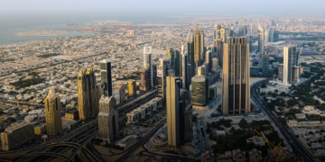
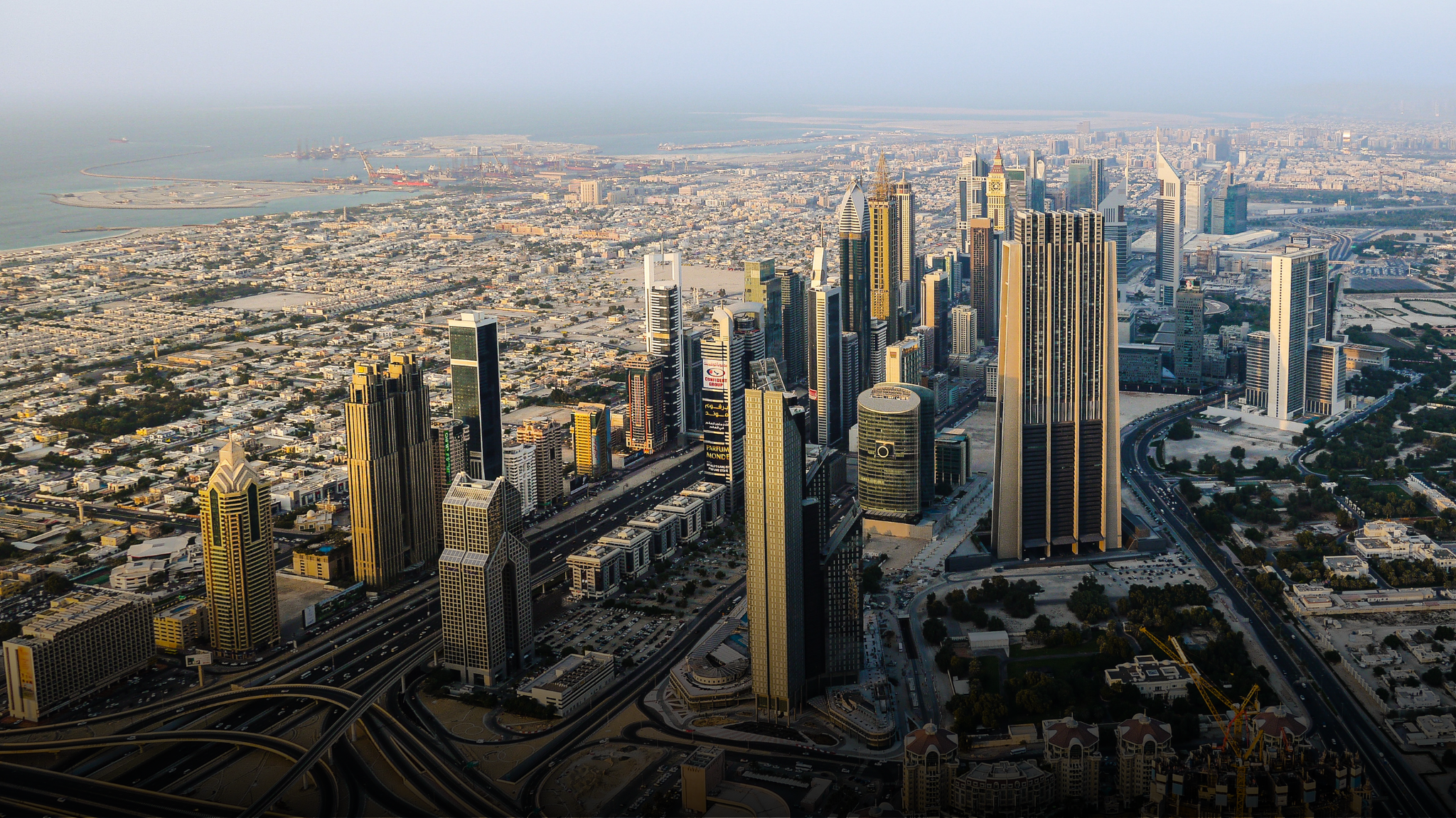
Featured image: Dubai road network, file image. It does not identify every affected road section.